Tuesday, 1 August 2006
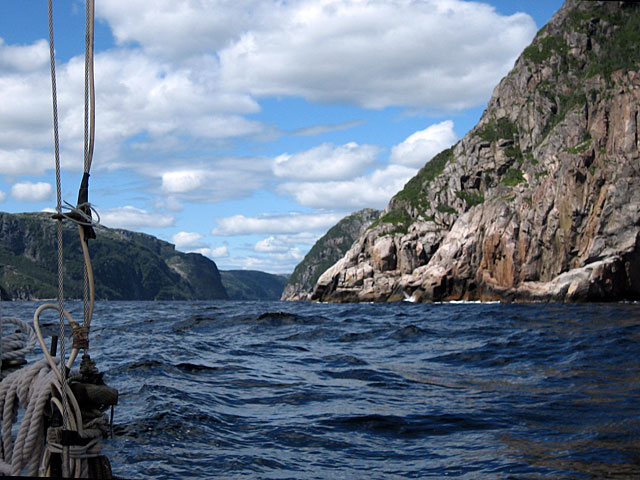
John’s expertise at the helm, edging up to windward with every chance, saved us from having to make yet another tack offshore to weather the eastern headland of Hare Bay. The waves smashing against the cliff base off our lee bow was an added incentive for keeping the course full and by. According to the chart, we had over a mile to go to the entrance to Hare Bay, which would require another tack, when the harbour mouth appeared.We note that some other charts for the South Coast of Newfoundland caution that they are published to "no known datum", and advise use of "positioning methods such as range and bearing."